Until 2008, most of Chaitén's residents had no idea they were living in the shadow of an active volcano. On May 2nd, they awoke to an unpleasant surprise: darkened skies and ashfall. Authorities sprung into action and by the end of May 3rd, 4,200 people were evacuated by sea. The eruption intensified over the following days, sending an eruption column 31 km into the sky and a lahar down the valley, laying waste to the town.
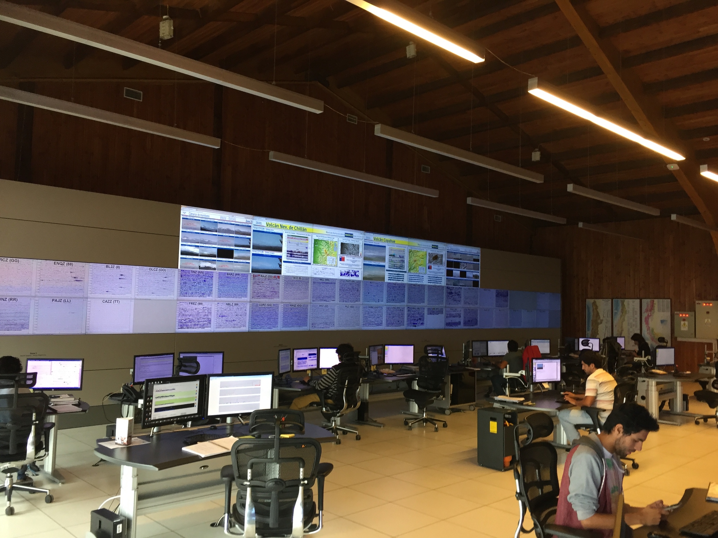
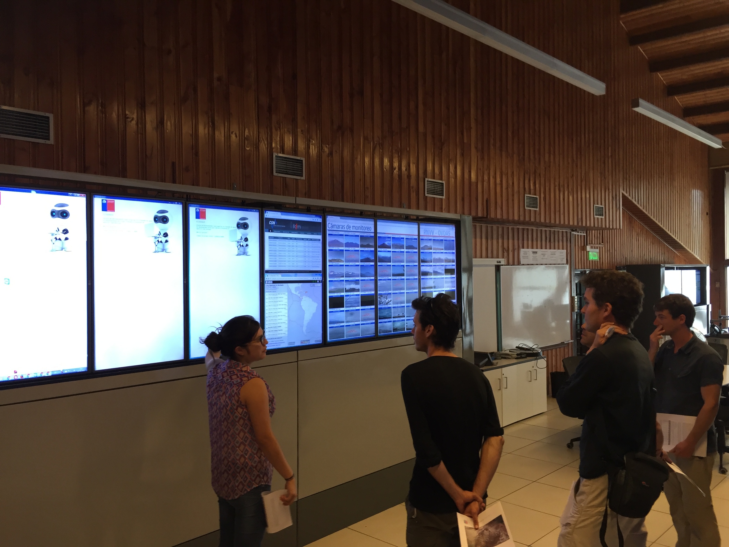
The volcano casts a long shadow across the physical and political landscape, even today. According to local volcanologists we talked to, the near disaster at Chaitén served as a wake-up call to the Chilean government, providing impetus for a cash infusion for volcano research. When we visited OVDAS’ gorgeous new headquarters in Temuco, it was clear the money has been well spent. Chile now boasts a vast, cutting-edge monitoring network of seismometers, webcams, and other sensors monitored 24-7 by a team of talented professionals and students in a command center reminiscent of NASA mission control.
Chaitén was our southernmost target on the Trail by Fire. The journey through the fjords of the Los Lagos district was long but gorgeous. We took two ferries on the way down and three returning.
The effects of the eruption were still unmistakable eight years later, when we arrived on the scene. Bizarrely, this coastal town isn’t quite on the coast anymore. Lahars from the eruption changed the course of the river and built a new delta, shifting the coastline out into the sea. The harbor and fish market were suddenly 1km inland.
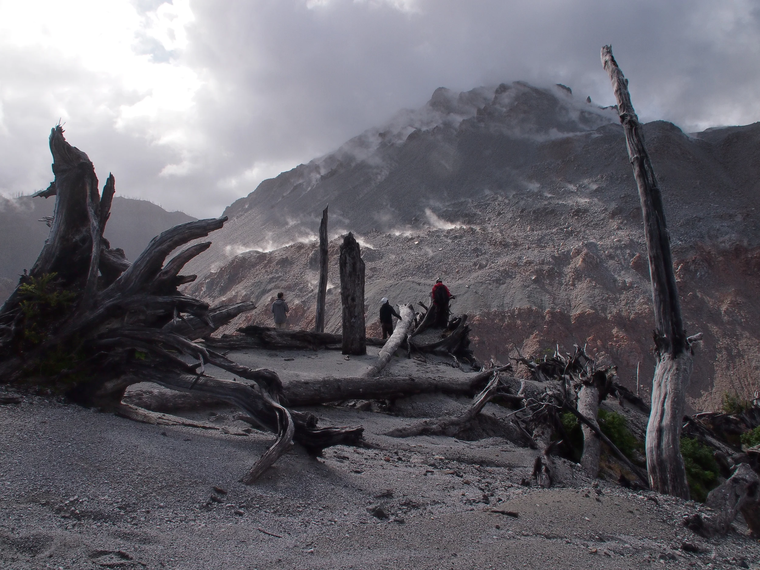
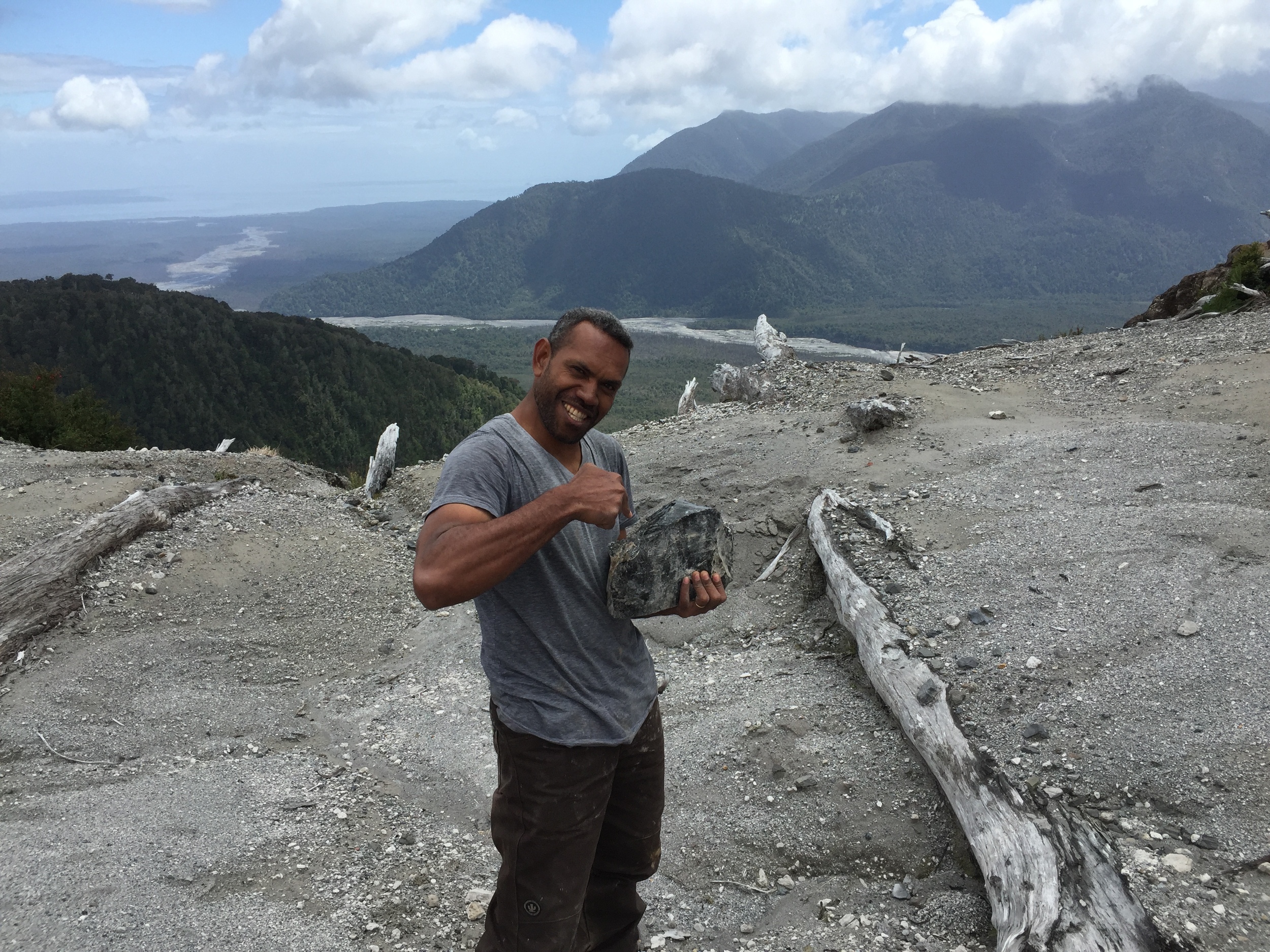
At the volcano itself, we found an ecosystem in transition and a gargantuan smoldering lava dome inside an even bigger caldera. A new forest is growing up in the midst of thousands of snags – blown down by the eruption in some places, standing in other.
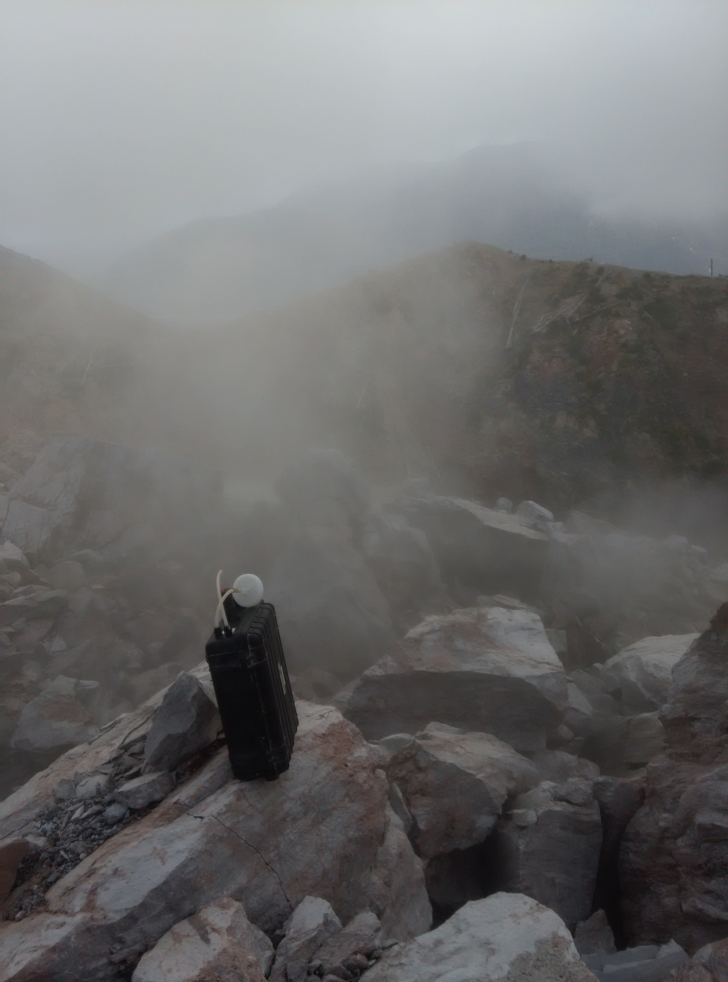
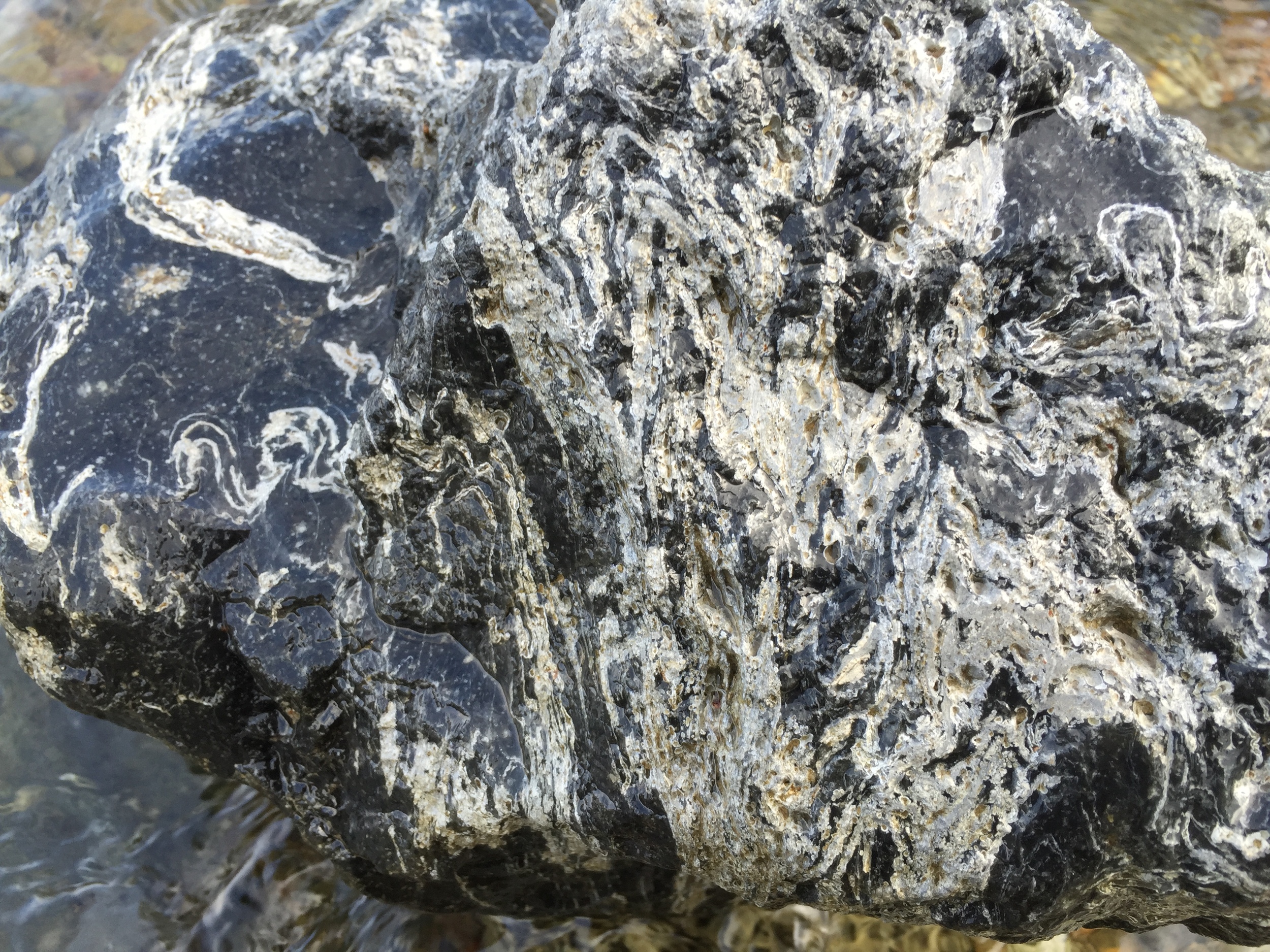
We trekked up to the rim of the caldera and scoped out the dome. Steam streamed out of fumaroles all over the upper half of this obsidan rubble mountain. To reach those hot targets, we’d need to downclimb the muddy, plant-covered cliff of the caldera wall, walk across the moat, and then scale the steep, loose boulder slopes.
A few hours of adventure later, our multigas was running in a fumarole about halfway up the dome. The gas was dominated by water vapor – a hydrothermal fumarole. Vents higher up might be emitting different gases, but climbing higher up the dome seemed unsafe given the steep slope and frequent rockfalls. We did what we could to measure gases from the inaccessible dome summit, collecting DOAS and UV camera data and flying an airborne gas sensor over the summit.
For the townspeople's sake, Trail by Fire is glad that Chaiten is quiet for the moment. On the other hand, this volcano sure does produce pretty rocks when it erupts! If you'd like to learn about the details of how they form, have a look at one of TBF team member Ian Schipper's recent papers on the subject.
Well, dear reader, that’s the last volcano we have to share with you on this blog. The drive back to Santiago went by all too quickly, and team members flew back to our home countries. Sally (as we came to know our Defender, whose VIN begins with SALL), hopped on a cruise back to Blighty to be admired at an exhibition.
There’s certainly more to tell, but we’ll be sharing the rest through papers in scientific journals and hopefully a TV show or two. Stay tuned on our Facebook or Twitter and we'll make sure you don't miss any of it. Thanks for joining us on the Trail!
